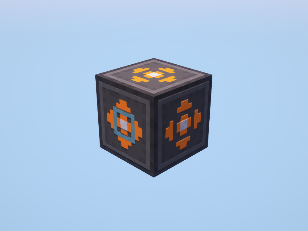
Geo Scanner
The Geo Scanner provides information about blocks around it and the chunk of that it is in.
The Geo scanner has a delay between scans, so you must wait until you can scan again.
| Peripheral Name | Interfaces with | Has events | Introduced in |
|---|---|---|---|
| geoScanner | Blocks | No | 0.7r |
Functions
getFuelLevel
getFuelLevel() -> number
Returns the amount of stored fuel.
getMaxFuelLevel
getMaxFuelLevel() -> number
Returns the maximum amount of possible stored fuel.
cost
cost(radius: number) -> number
Returns the cost in FE for a scan with the given radius.
scan
scan(radius: number) -> table | nil, string
Returns a list of data about all blocks in the radius. Or if the scan fails it returns nil and an error message.
Block Properties
| block | Description |
|---|---|
name: string |
The registry name of the block |
tags: table |
A list of block tags |
x: number |
The block's x coordinate |
y: number |
The block's y coordinate |
z: number |
The block's z coordinate |
getScanCooldown
getScanCooldown() -> number
Returns the current time remaining until then next scan() can be ran.
chunkAnalyze
chunkAnalyze() -> table | nil, reason
Returns a table of data about how many of each ore type is in the block's chunk. Or if the analyze fails it returns nil and an error message.
Changelog/Trivia
0.7r
Added Geo Scanner peripheral.
